
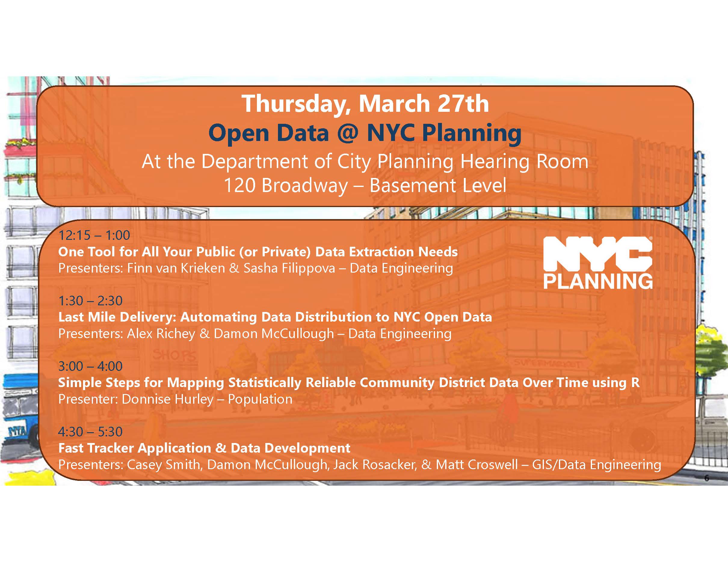
Comparing data from different census years can be a challenge due to changes in geographies. When those data are Public Use Microdata Sample (PUMS), it may be difficult to know where to start. In this presentation, Donnise Hurley from the NYC Department of City Planning will demonstrate step-by-step how to access PUMS data using the Census API, prepare data for analysis, harmonize older data into the 2020 PUMAs (approximate NYC’s Community Districts boundaries), and make an interactive map using a few lines of code. Attendees will gain a basic understanding of PUMS data, learn how to calculate margins of error and use them to create statistically reliable map categories, and learn data wrangling techniques. All analyses will be conducted in R statistical software, but the techniques presented are transferrable to other programs.
This presentation is part of the Open Data @ NYC Planning event series.
Click here to RSVP for virtual attendance.
Click the blue “Going” button below to RSVP for in-person attendance at the Department of City Planning’s offices (120 Broadway, New York, NY 10271).